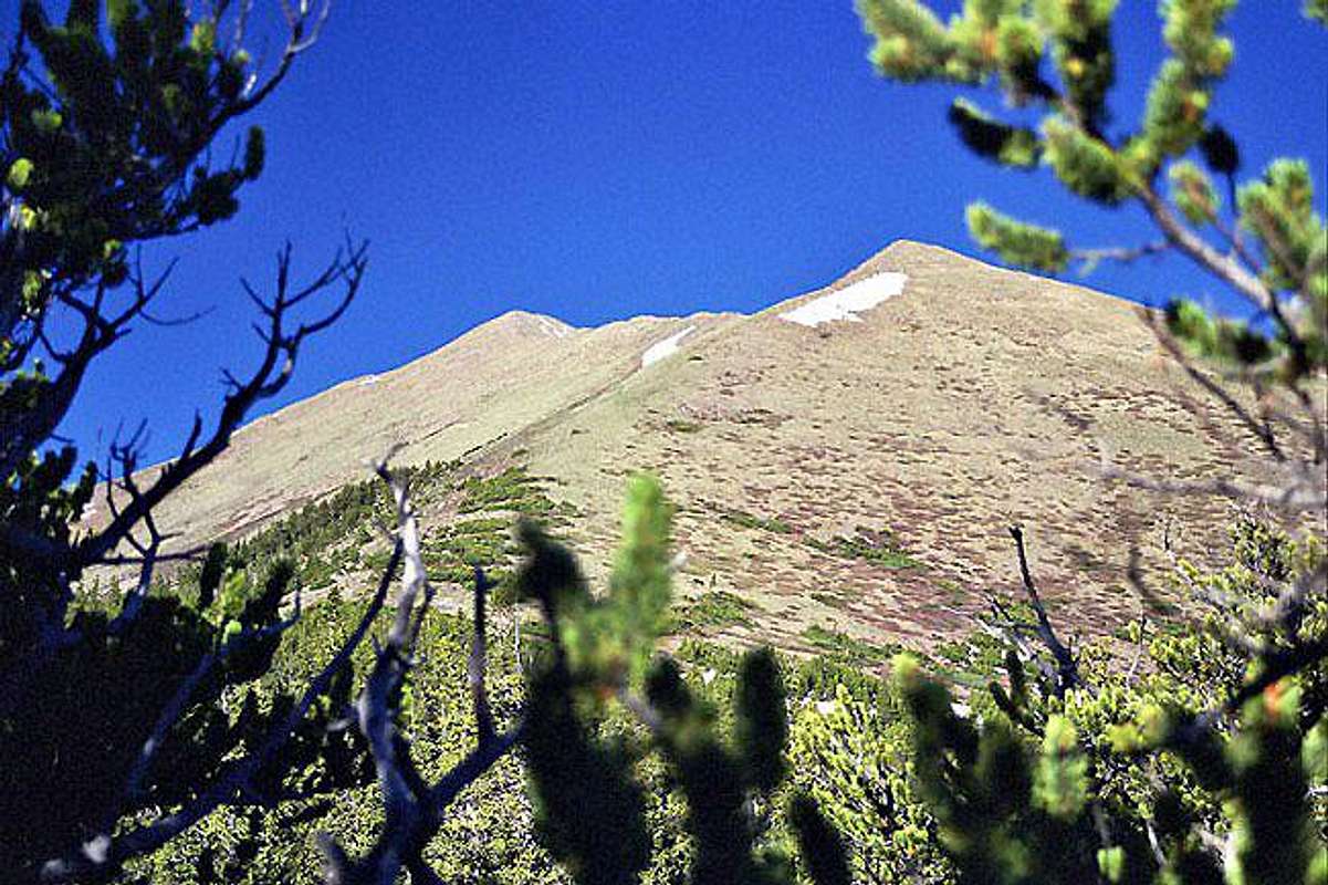
Horn Peak is a 13,450-foot (4,100 m) mountain summit in Custer County, Colorado, United States.
Description
Horn Peak is set in the Sangre de Cristo Range, which is a subrange of the Rocky Mountains. It is the 14-highest summit in Custer County, and can be seen from Highway 69 near the community of Westcliffe. The mountain is located in the Sangre de Cristo Wilderness on land managed by San Isabel National Forest. Precipitation runoff from the mountain's slopes drains into tributaries of Grape Creek which in turn is a tributary of the Arkansas River. Topographic relief is significant as the summit rises 2,250 feet (686 m) above Cottonwood Creek in 0.6 mile (1 km). An ascent of the peak involves nine miles (14 km) of strenuous hiking. The mountain's toponym has been officially adopted by the United States Board on Geographic Names.
Climate
According to the Köppen climate classification system, Horn Peak is located in an alpine subarctic climate zone with cold, snowy winters and cool to warm summers. Due to its altitude, it receives precipitation all year, as snow in winter and thunderstorms in summer, with a dry period in late spring.
Gallery
See also
- Sangre de Cristo Mountains
- Mountains portal
- Thirteener
References
External links
- Horn Peak: weather forecast